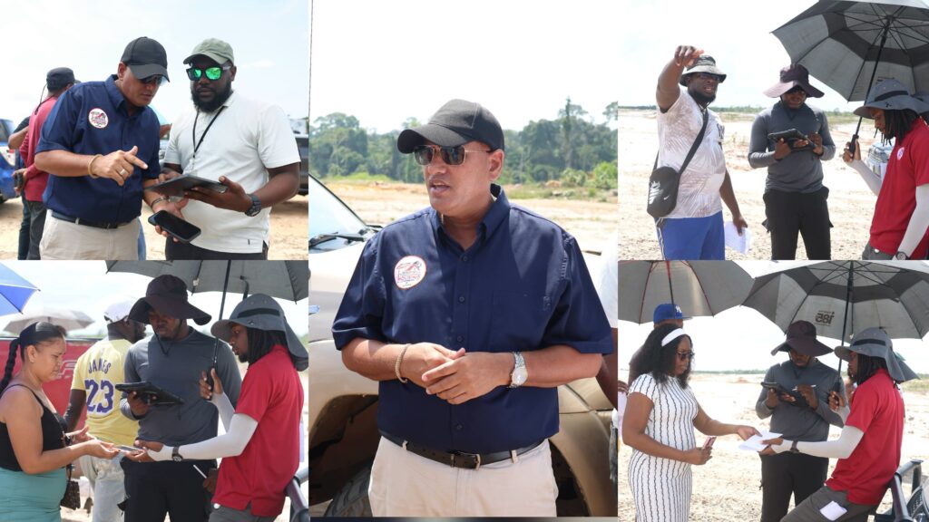
The Ministry of Housing- Central Housing & Planning Authority (CH&PA) will introduce a new geo-referencing system for house lot identification exercises nationwide, effective November 1, 2026, as part of efforts to strengthen accountability, improve accuracy and protect allottees from mistakenly occupying or constructing on lands not allocated to them.
Minister of Housing, the Hon. Collin Croal, spoke on the new system while in Bartica, where he outlined the new measures being implemented to modernise the agency’s lot identification process.


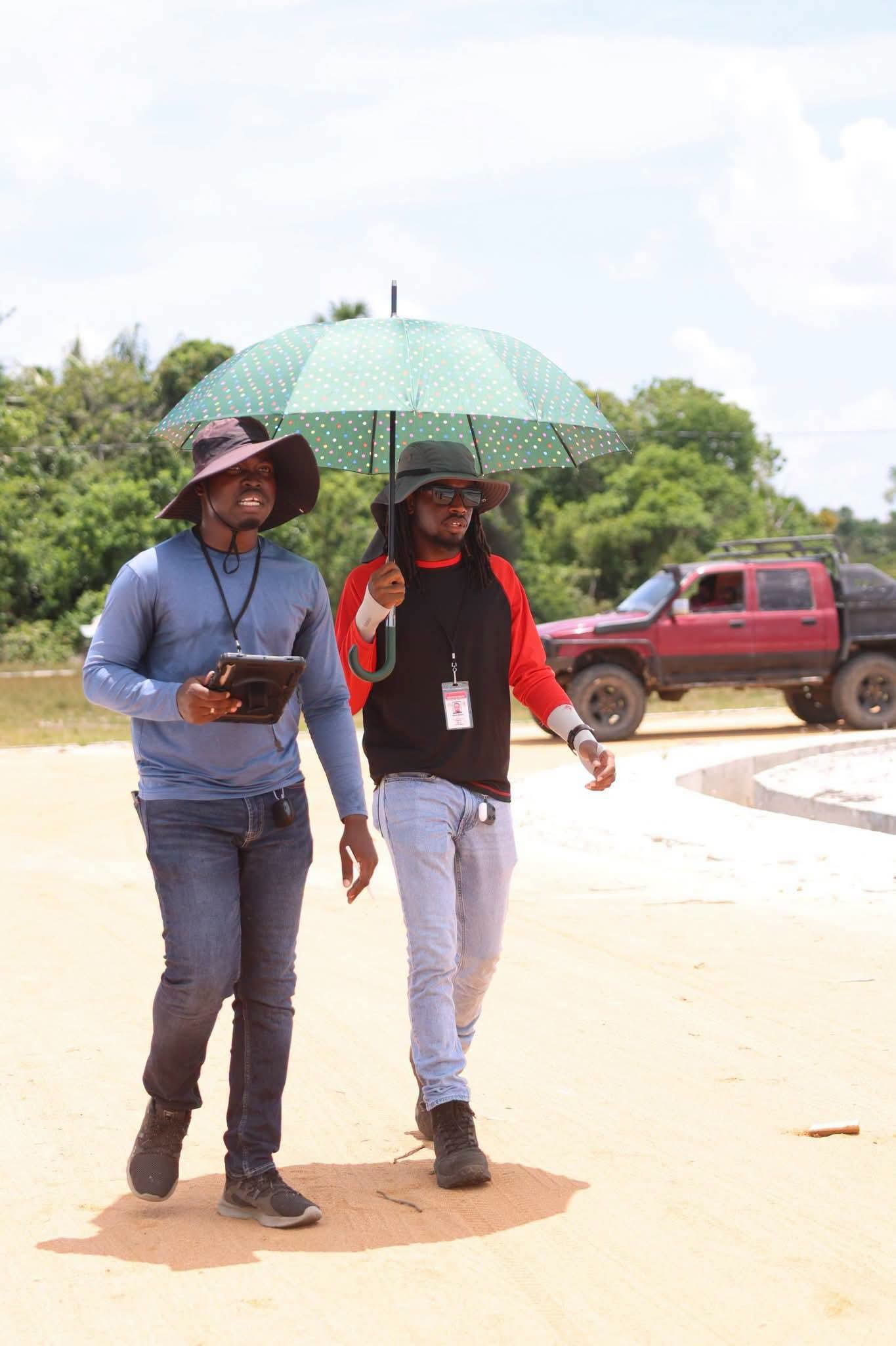
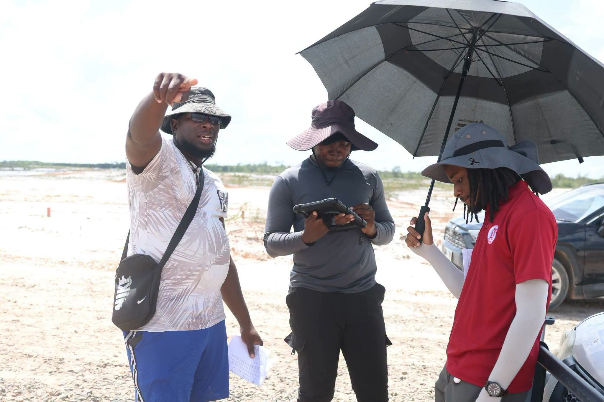
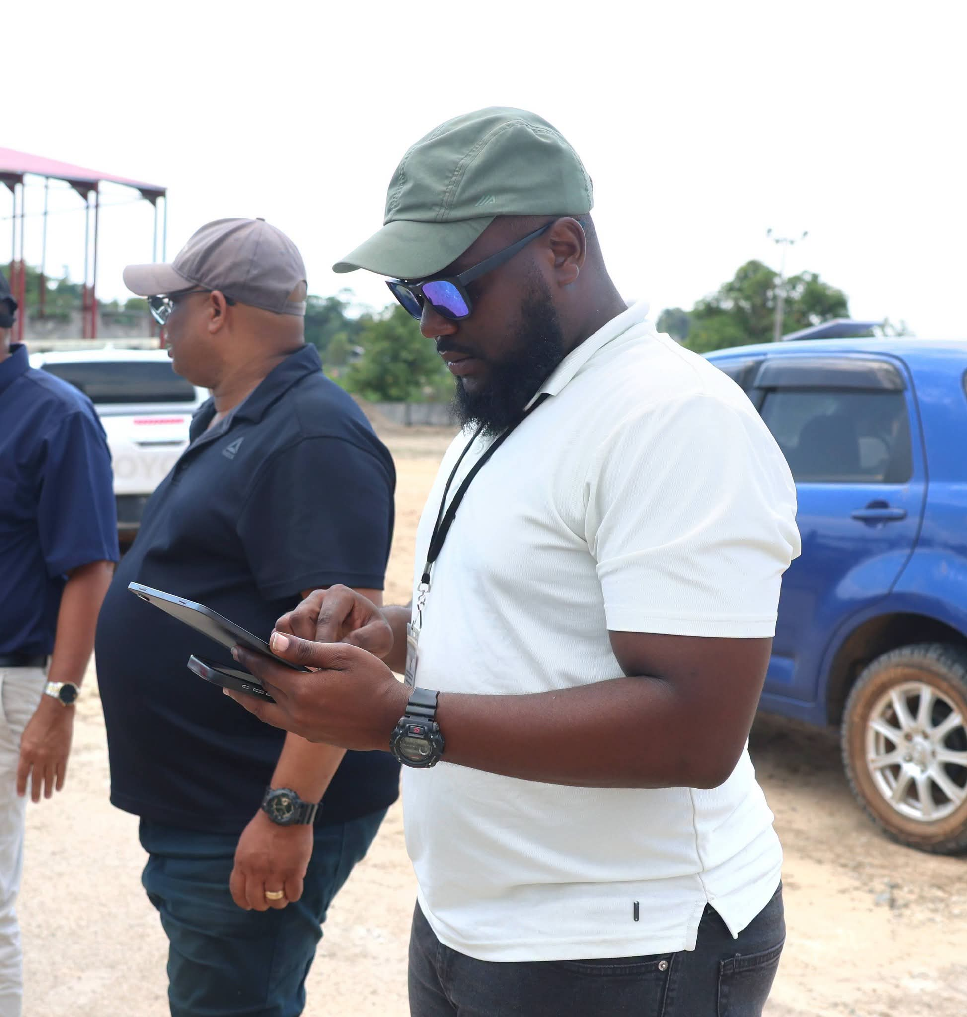
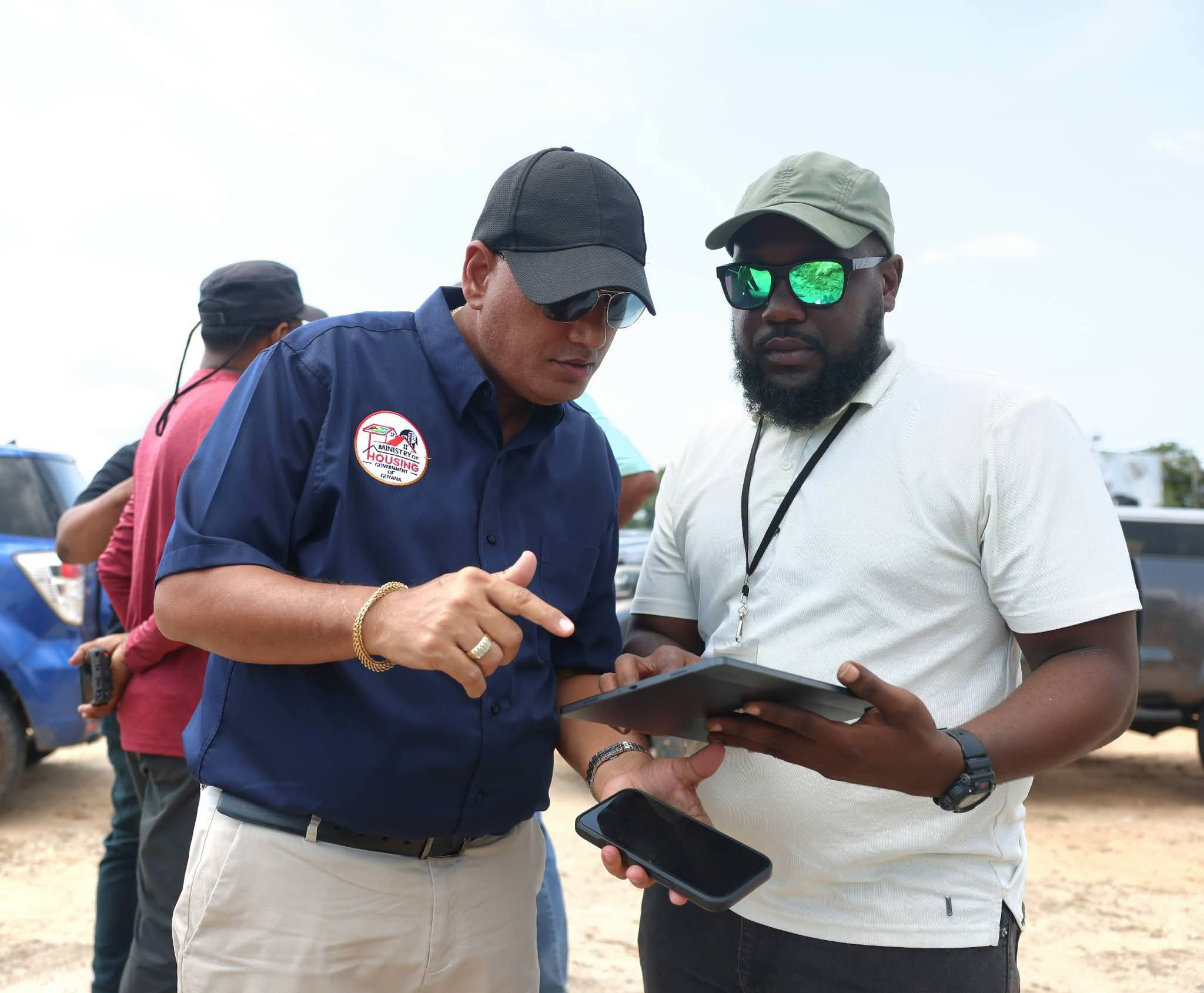
The initiative forms part of the Government’s wider digital transformation agenda, championed by His Excellency, President Dr. Irfaan Ali, aimed at improving efficiency, transparency and service delivery across public institutions.
Minister Croal explained that the introduction of geo-referencing technology follows concerns about instances in which persons have commenced construction on incorrect lots, resulting in disputes and other complications.
He emphasised that the new system is designed to safeguard both allottees and the agency by establishing a reliable digital record of each lot identification exercise.
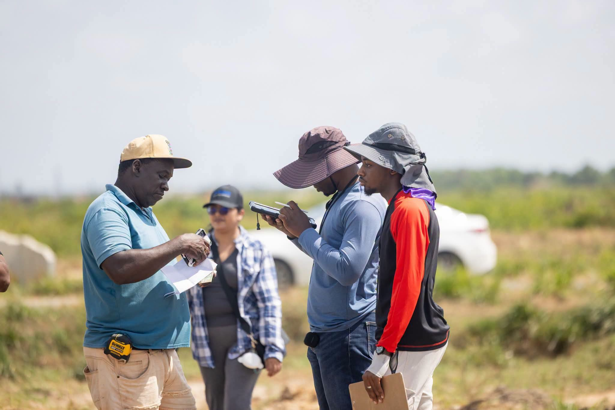
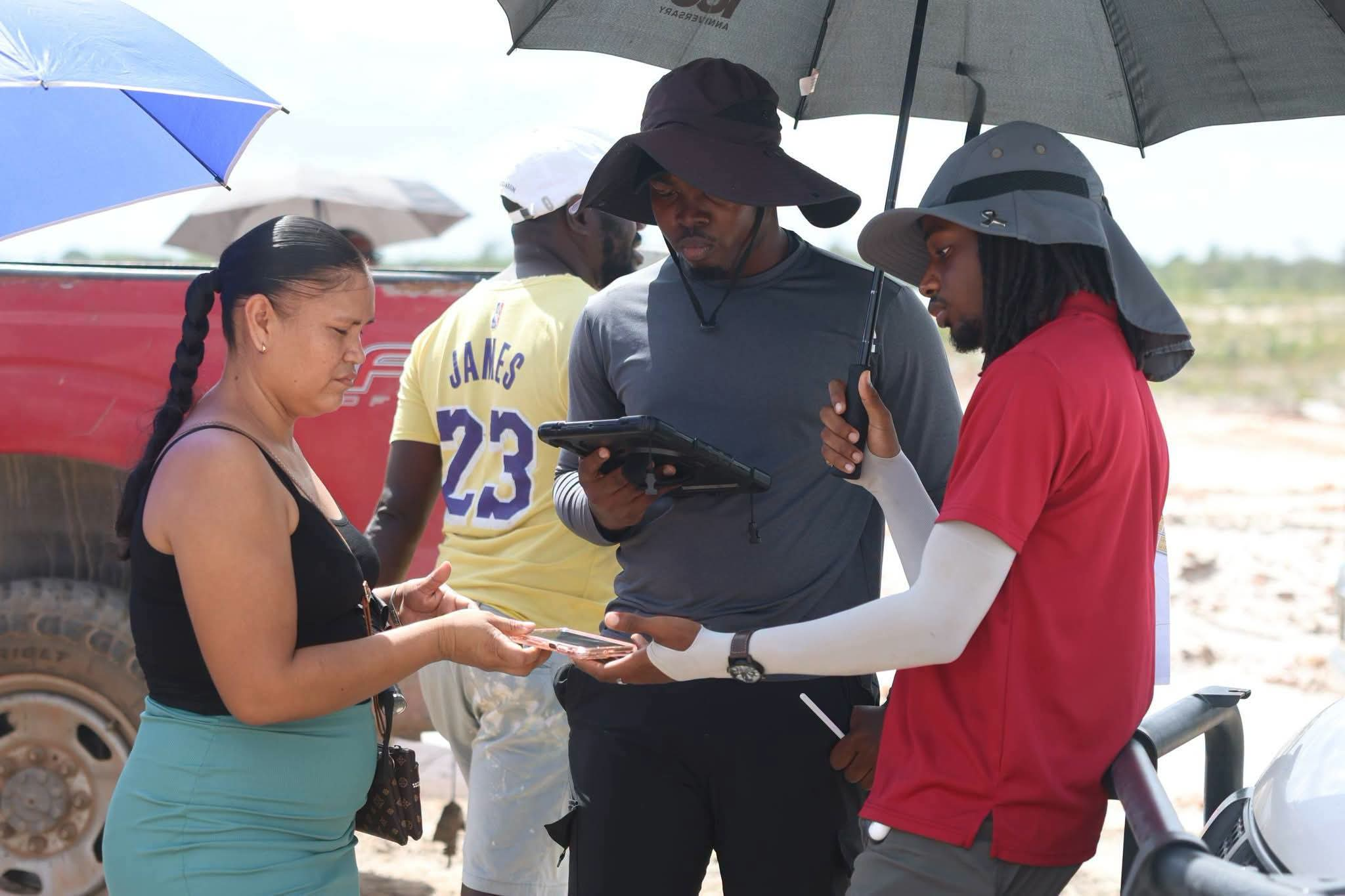
Under the new arrangement, CH&PA surveyors will use geo-referencing technology to record the precise coordinates and reference points of each residential lot during the identification process.
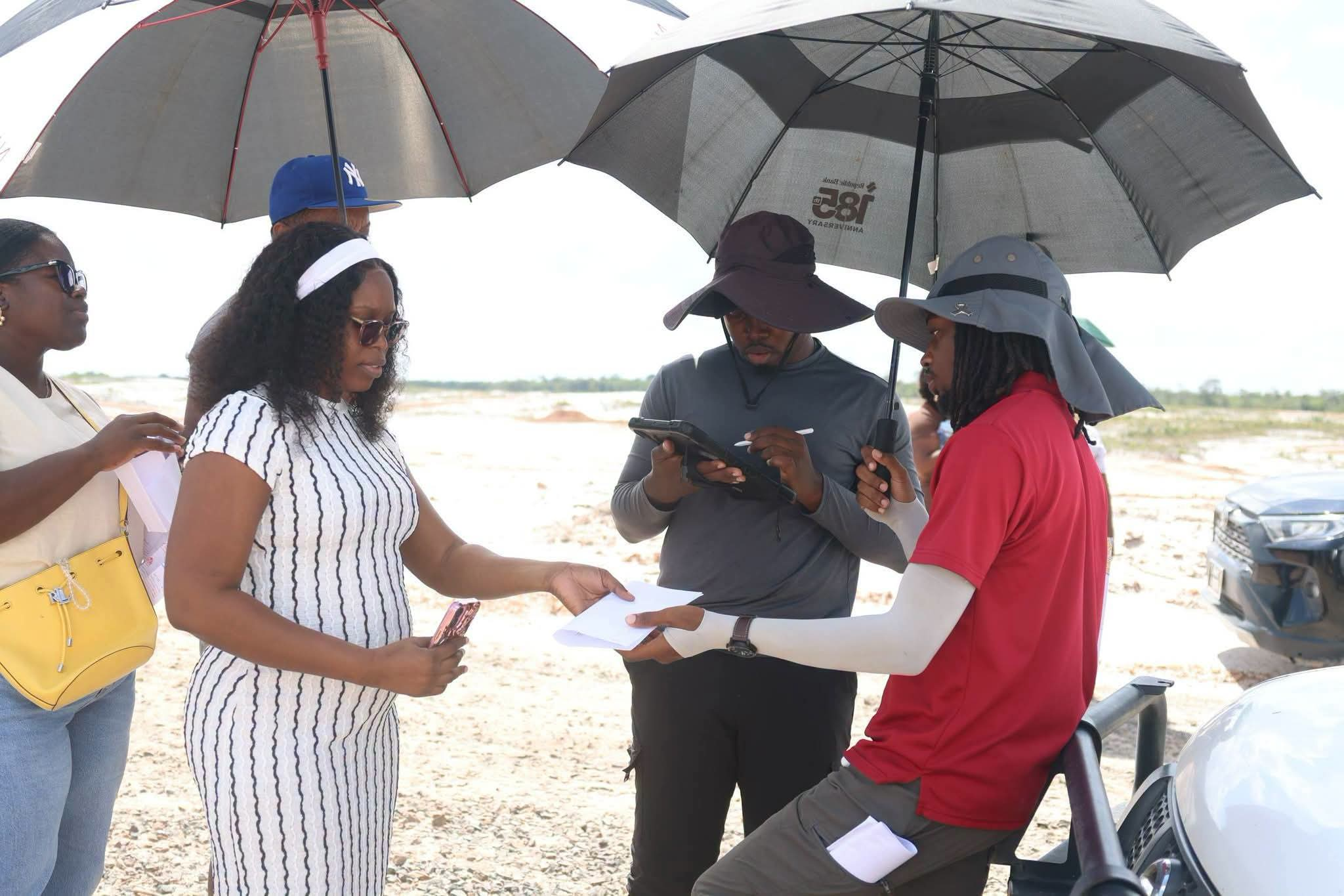
This information will be logged electronically using tablets, creating a digital record of the location and boundaries of the land shown to each allottee.
Additionally, photographic evidence will be captured during the exercise to confirm that the allottee was physically present and shown the designated parcel of land.
Allottees will also be required to digitally sign an acknowledgement confirming that they have been shown their respective lots and that the relevant coordinates have been recorded.
Importantly, Minister Croal noted that allottees will be able to request copies of their lot coordinates for future reference, allowing them to accurately locate their properties whenever necessary.”
This is being introduced to safeguard the allottee as well as the agency,” Minister Croal stated.
He explained that the system will provide an additional layer of verification, ensuring that both the agency and beneficiaries have documented evidence of the identification exercise.
The Minister further stressed that allottees must ensure they are shown all four boundary markers, commonly referred to as paals, before accepting identification of their lots.
He cautioned against relying solely on layout plans or assumptions when attempting to locate allocated lands, noting that such practices have contributed to persons mistakenly constructing on properties belonging to others.
Minister Croal also reminded beneficiaries that while CH&PA is responsible for accurately identifying their lots, allottees have a responsibility to monitor and maintain their boundary markers following the exercise, particularly where construction may not commence immediately.
The new digital identification system is currently undergoing testing, with the Minister expressing satisfaction with the progress made thus far.
He confirmed that the technology will be fully introduced from November 1 and subsequently utilised at all CH&PA lot identification exercises across the country.